

Slepa mapa Slovenska - "Blind" map of slovakia


Slepa mapa Slovenska - "Blind" map of slovakia
- Made to order — 3D printed after you buy
- Free shipping on orders over $25
- Quality checked before it ships
- Questions? Contact us · Returns
Vytvoril som “slepú” mapu Slovenska, ktorá slúži ako pomôcka na hodinách geografie či vlastivedy. Žiaci podľa modelu šablóny obkreslia do zošita obrys Slovenskej republiky a následne do nej zakresľujú mestá, rieky, pohoria,…
Model obsahuje tiež aj výrezy v miestach kde sa nachádzajú krajské mestá.
Veľkosť modelu je cca A5, takže na jednu stranu A4 je možné obkresliť 2x obrys Slovenska.
Tlačové profily sú pre jednu, alebo 2 mapy na jednej tlačovej podložke.
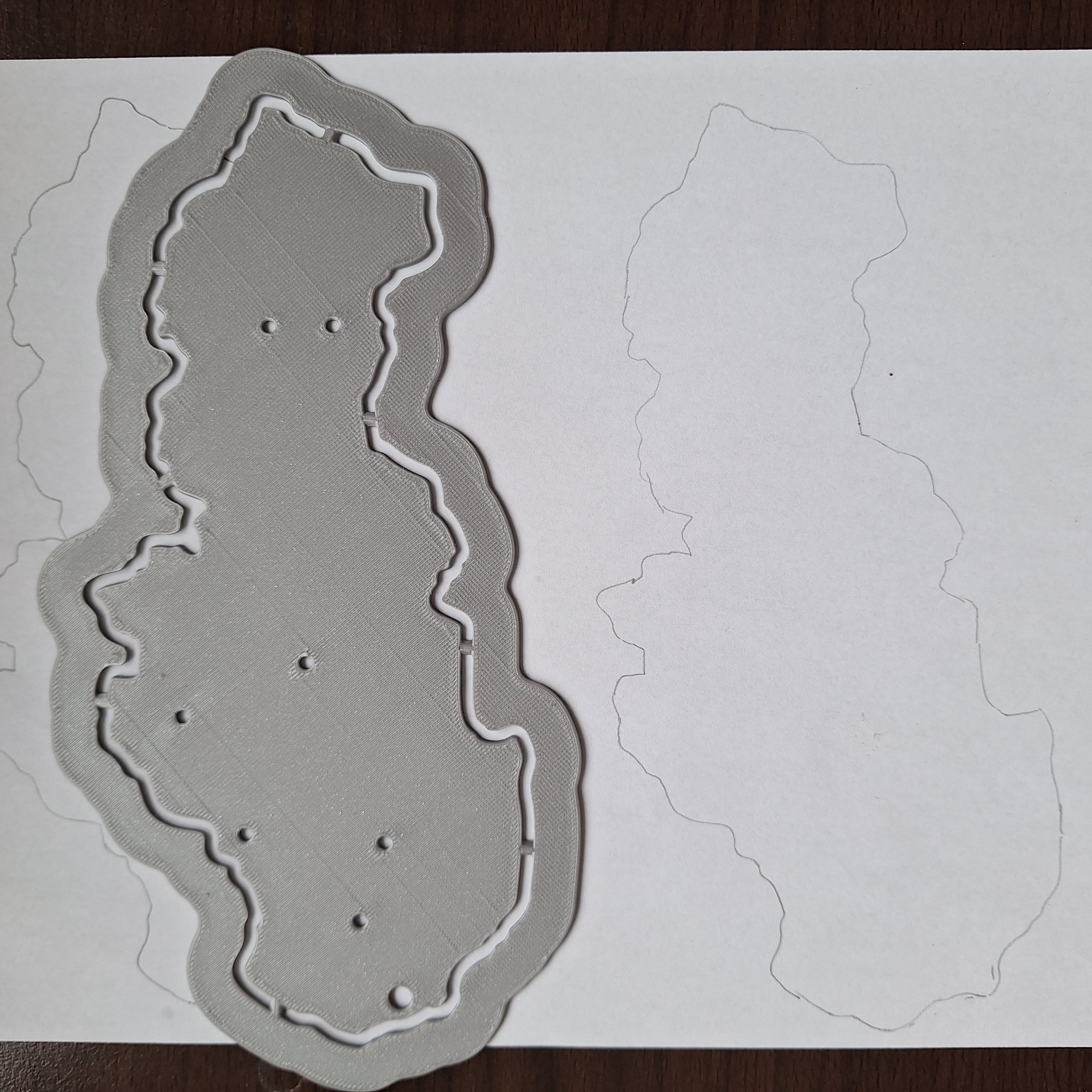
I created a "blind" map of Slovakia, which serves as an aid in geography or national history lessons. Schoolchild draw the outline of the Slovak Republic in a notebook according to the template model and then draw cities, rivers, mountains, etc. The model also contains cutouts in places where regional cities are located. The size of the model is approx. A5, so on one side of A4 it is possible to trace the outline of Slovakia twice. Print profiles are for one or two maps on one heated bed.
Design by Frantisek23 on MakerWorld (license: BY-SA).