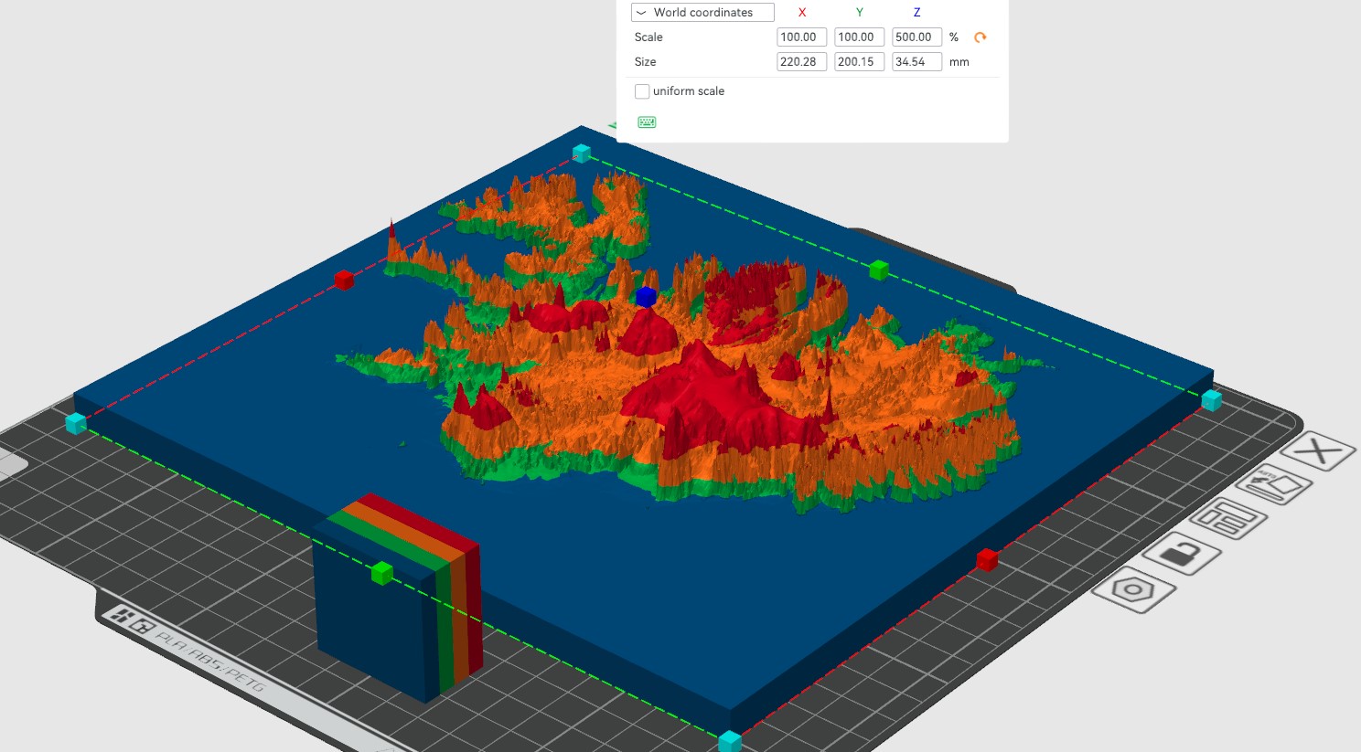
this is a topographic map of iceland which demonstrates the elevation of the country i created it using terrain2stl https://jthatch.com/Terrain2STL/
you can create your own here
if you want to change the exaggeration of the terrain you can just scale it on the y axis
i used esun pla+ blue-gray for the base and bambu pla basic green and orange (i got from the p1s) and bambu petg basic red because i ran out of pla
i recommend printing at 0.08 mm or if you have a 0.2 mm noozle 0.04 mm layer heights this makes the colors slightly see trough in some parts making a more gradual shift
Design by max mountain grove on MakerWorld (license: BY).